The Sugar Mile
Exploring the history and identity of the ‘Sugar Mile’ – a key transport artery threading together London’s Royal Docks.
More info
Newham Council, in partnership with the Royal Docks Team, has prepared proposals to change the road layout and street environment along the Royal Docks Corridor, which includes Silvertown Way and the section of North Woolwich Road up to Connaught Bridge.
DK-CM was commissioned by the Royal Docks team to produce a study of the areas around the Royal Docks Corridor programme to accompany these transformations in advance of work starting on-site. Our study, focussed upon the road but also encompassing the spaces, buildings and communities it threads through, provides both a historical narrative and a contemporary portrait of this extraordinary part of the Royal Docks for use by all those conceiving of change in London’s only Enterprise Zone.
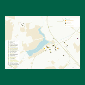
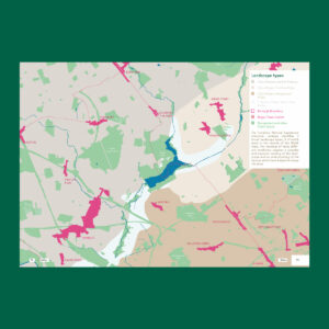
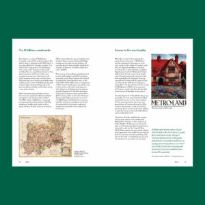
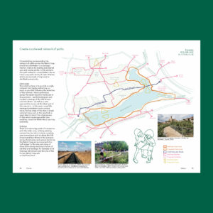
The study begins with an overarching historical narrative – told through an essay and a sequence of maps – and then explores the area in more detail, focused upon the key places of Canning Town and Silvertown, where the text is enriched by archival material and a suite of photographs taken in March 2022.
Credits
- Client: Royal Docks team
- Dates: 2022
- Status: Completed
Close More info
Related entries

Royal Docks Placemaking Strategy
Placemaking and water activation for London’s only Enterprise Zone.

Exploring the needs and ambitions of the Royal Docks business community.


Picturing the future Royal Docks neighbourhoods and building upon our placemaking work for London’s only Enterprise Zone.
Other Water
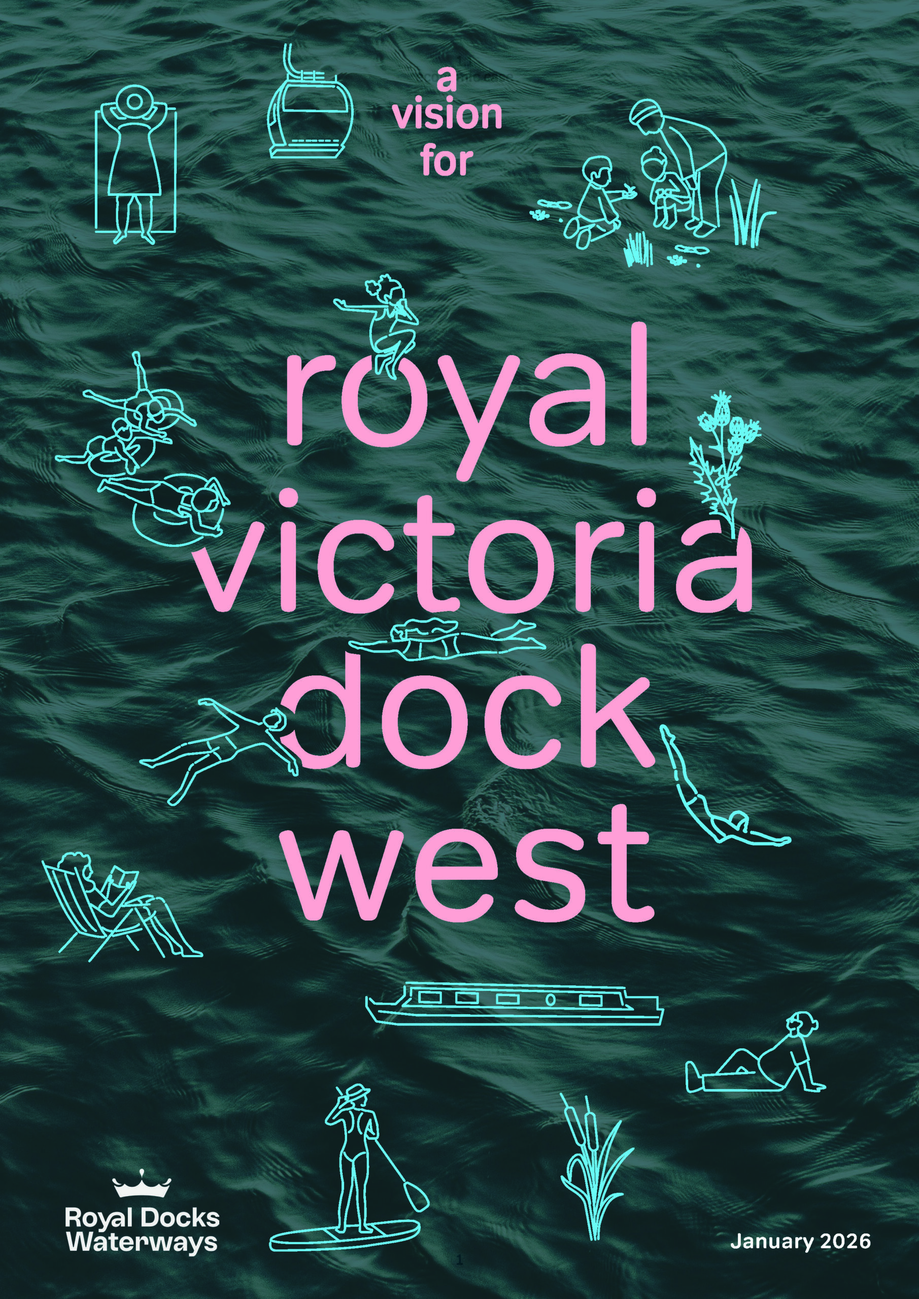
A vision to enhance public life on the water in the Royal Docks, aiming to create London’s most welcoming public space.
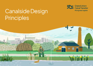
GUCT Canalside Design Principles
Design principles for canalside infrastructure, part of the Grand Union Canal Transfer (GUCT) project, a vital scheme bringing water from the Midlands to the Southeast.
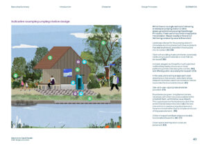
Harbour Place Shaping Strategy
Reimagining Bristol’s harbour as a waterborne park for the whole city, through a comprehensive 20-year strategy.
Picturing the future Royal Docks neighbourhoods and building upon our placemaking work for London’s only Enterprise Zone.
Royal Docks Watersports Centre
Helping to expand the offer and accessibility of this vital watersports and rowing charity.
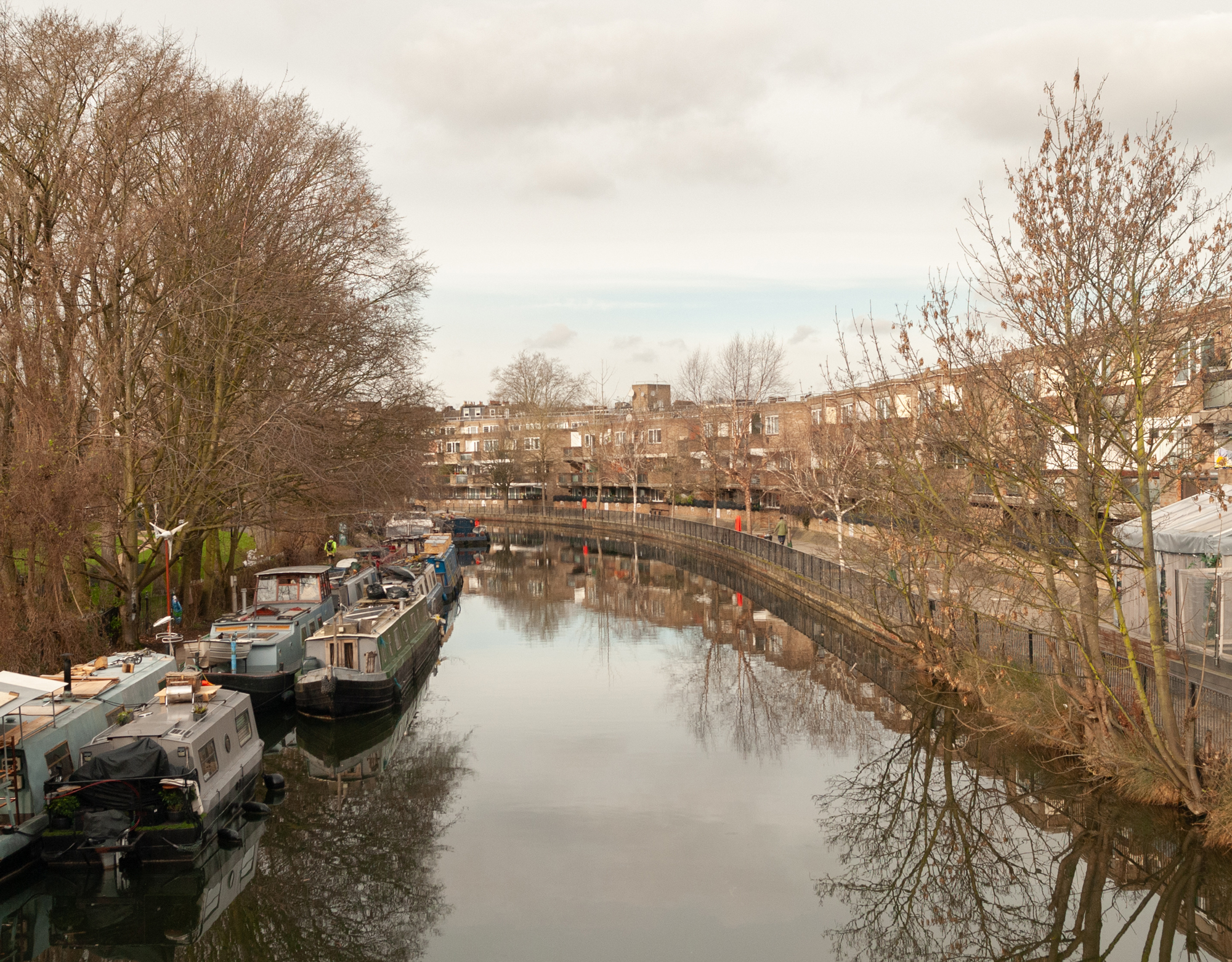
Strategic work to improve accessibility and environmental sustainability in and round the Regent’s Canal in Paddington, informed by extensive public engagement work.
Royal Docks Placemaking Strategy
Placemaking and water activation for London’s only Enterprise Zone.

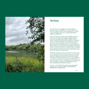
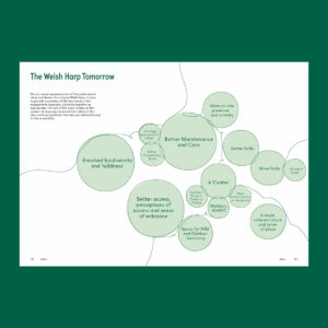
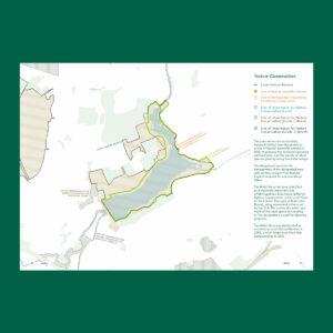
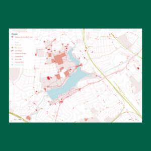
Developing a collective vision for the Welsh Harp reservoir and surrounding public landscapes.
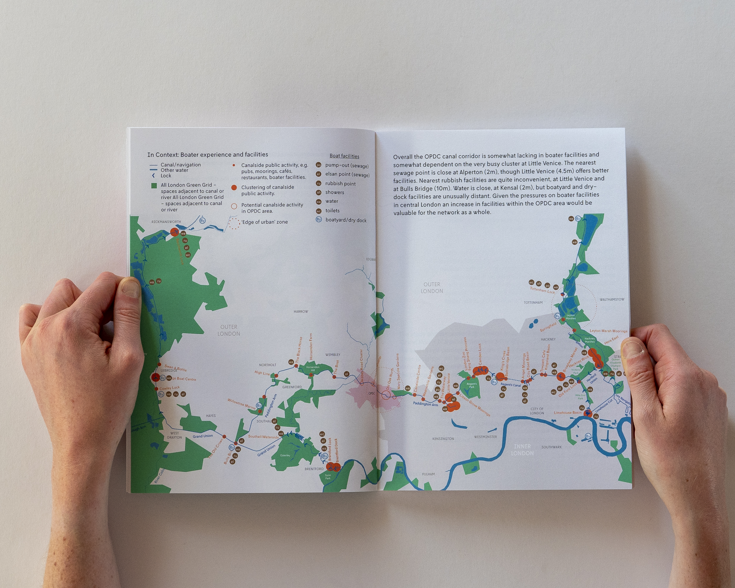
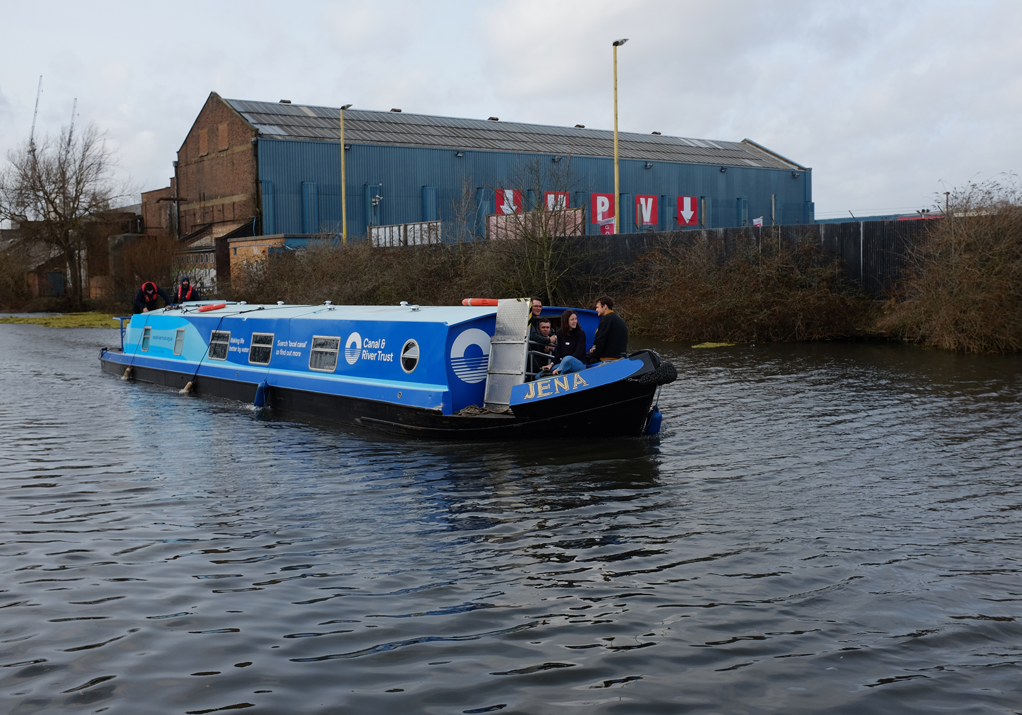
A vision for the Grand Union Canal at Old Oak and Park Royal, capturing its existing qualities and setting out strategies for its improvement and preservation.


Exploring the needs and ambitions of the Royal Docks business community.
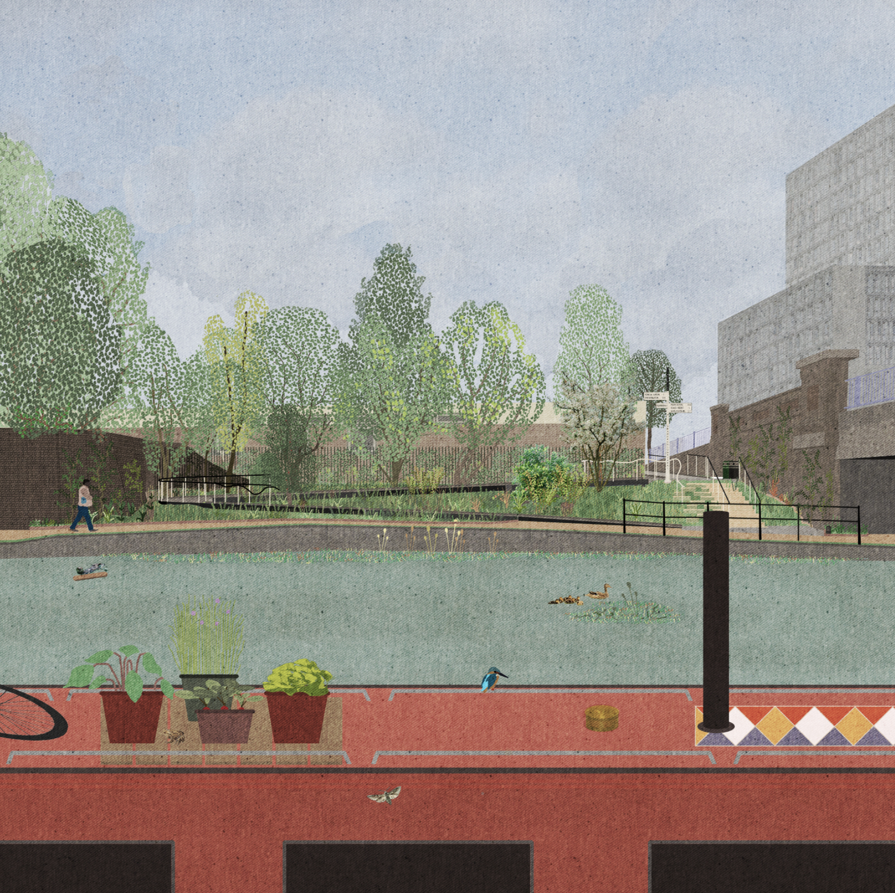
Exemplar access to the Grand Union Canal, for the Old Oak and Park Royal Development Corporation.
A public document exploring Bristol’s harbour as it is prior to developing a 20-year Place Shaping Strategy for the area.
Listening to the Grand Union Canal
An engagement study which captures the use and perceptions of the canal at Old Oak and Park Royal.


A public realm strategy for Pudding Mill, one of the new neighbourhoods proposed around the Queen Elizabeth Olympic Park.


Action plan exploring how the industrial areas of Barking & Dagenham can be used to enrich the borough’s creative enterprises.


A Thames-side pavilion hosting community events, evening dinners and a daily café whilst rewriting the narrative of Erith’s regeneration.


