Green Belt Atlas
Pioneering mapping of the Metropolitan Green Belt at the Royal College of Art.
More info
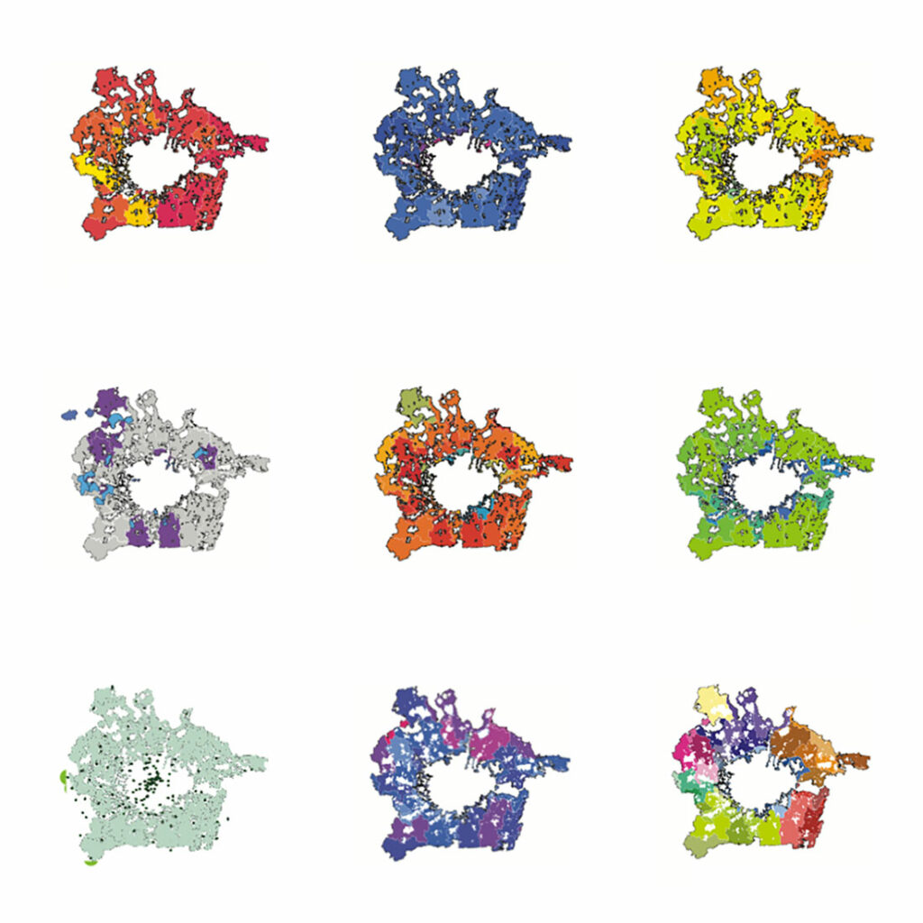
The Green Belt Atlas, produced by graduating students of ADS2 at the Royal College of Art School of Architecture, is the first qualitative mapping of the Metropolitan Green Belt (MGB)since it was established. It documents a space that defines not only London’s form and growth, but also how the city and its surroundings are perceived, used and imagined, a legislative space defined by what it prevents rather than what it contains.
As the MGB comes under increasing development pressure, it is vital that we understand its qualities as much as we understand its constraints. Although the MGB has been scrupulously researched in relation to rhetorical debates concerning growth and preservation, is has never been scrutinised as a territory in its own right. We know next to nothing about its economy, its spatial character, or its value(s). Few Londoners could tell you where it begins or ends. But the territory is not empty; indeed it frequently functions as a social twilight zone for opportunistic, illegal or off-grid activity, as well as being a home to essential city infrastructure. It is far from untouched or unspoilt.
ADS’s mappings of the mGB went on to inform design projects that challenged, critiqued and speculated upon its future.
Credits
- Dates: 2013
- Students: Amelia Hunter, Andy Matthews, Rowan Prady, Benjamin Turner, William Young
- Tutors: David Knight, Charles Holland, Finn Williams
- Collaborators: Jonathan Manns, The London Society
- Status: Completed
Close More info
Related entries

Doctoral research exploring the relationship between English public planning and wider society, with a focus on online discourse and knowledge exchange.

A crowdsourced video campaign getting to the heart of Outer London – #OLidentity

Both a practical guide for the householder and an exploration of the limits of legislation.


Other Research
Culture and Creativity in Walthamstow
Exploring how culture and creativity are understood, practiced and experienced in Walthamstow and a strategy for how they can be better supported.

Expanding London's Public Realm
A design guide to enhance the public value and design quality of London’s expanded public realm.


A major new history of the London pub, explored through multiple voices and perspectives and edited by David Knight and Cristina Monteiro.


An exhibition about stepping across sectors and beyond traditional architectural practice to build new forms of publicness, with Public Practice and Alison Crawshaw.

Exploring the needs and ambitions of the Royal Docks business community.


Exploring the history and identity of the ‘Sugar Mile’ – a key transport artery threading together London’s Royal Docks.
A public document exploring Bristol’s harbour as it is prior to developing a 20-year Place Shaping Strategy for the area.
Doctoral research exploring the relationship between English public planning and wider society, with a focus on online discourse and knowledge exchange.
Built environment skilling for young creatives in the London boroughs of Brent, Ealing and Hammersmith & Fulham.
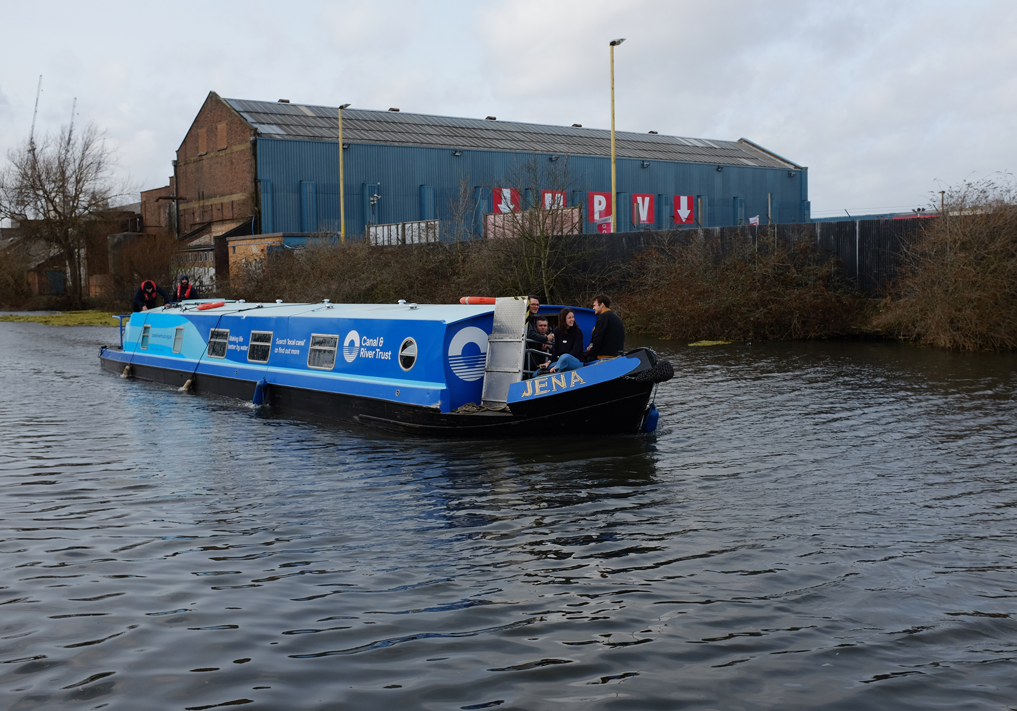
Listening to the Grand Union Canal
An engagement study which captures the use and perceptions of the canal at Old Oak and Park Royal.


A series of films made with local young people captures a diverse and varied portrait of Bruce Grove.


Both a practical guide for the householder and an exploration of the limits of legislation.

The Tenement: collective city dwelling before Modernism
Exploring collective dwelling at the Society of Architectural Historians Annual International Conference 2017

Guide to the Wastelands of the Lea Valley: 12 empty spaces await the London Olympics is a polemical guidebook to the pre-Olympic lower Lea Valley.


DK-CM’s contribution to San Rocco’s Book of Copies project in 2013, compiling 50 photocopies on the theme of ‘Shop Windows.’


A research study into the social and historical context of the industrial areas of Barking & Dagenham through a series of interviews with local creatives, produced by DK-CM, Create London and the New Economics Foundation.


King’s Cross Urban Actions Field Guide for the London Festival of Architecture 2012.


A exhibition exploring the aesthetics and consequences of housing regulation.

A Europe-wide 3 year research project on Roma dwelling and housing.


